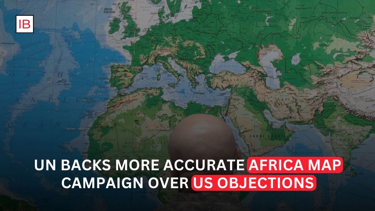
The United Nations General Assembly has backed an Africa-led campaign to promote world maps that more accurately represent the relative size of continents, delivering a major diplomatic victory to countries seeking to challenge the distortions created by the traditional Mercator projection. The resolution passed on Friday with 164 countries voting in favor, six abstaining and the United States standing alone in opposition.
The vote centers on a seemingly simple question—how the world should be drawn on a flat map—but the debate has become closely connected to history, education, international representation and perceptions of Africa’s place in the world. The initiative, led by Togo and supported by the African Union, promotes the use of projections such as Equal Earth, which preserve the relative area of continents more accurately than the widely used Mercator projection.
The Mercator map was developed in the 16th century primarily for navigation. Its design makes it useful for sailors because it preserves directions, but it significantly distorts the apparent size of land masses as they move toward the poles. Countries and regions in northern latitudes appear much larger than they actually are, while areas closer to the equator appear comparatively smaller.
Africa is one of the clearest examples. On a conventional Mercator map, Greenland can appear roughly comparable in size to Africa. In reality, Africa is about 14 times larger than Greenland.
The new approach promoted by the United Nations does not mean that the Mercator projection will suddenly disappear from every classroom, website or navigation system. The General Assembly resolution is non-binding. Instead, it encourages governments, international organizations, educational institutions, technology companies and other groups to consider maps that provide a more accurate representation of continental areas.
Togo has played a central role in the campaign. The West African country brought the issue to the United Nations on behalf of African states, arguing that the way continents are represented has consequences beyond geography. Supporters say the visual imbalance created by conventional maps has contributed to an inaccurate perception of Africa and other regions of the Global South.
Togo’s Foreign Minister Robert Dussey has described the initiative as an issue of fairness and knowledge rather than merely cartographic preference. The campaign argues that a more accurate map can help correct misconceptions that have been reinforced through decades of educational and cultural use.
The African Union has supported the effort, giving the campaign broader continental backing. The initiative also reflects a wider movement to reconsider representations inherited from earlier periods of European influence. Advocates argue that maps are not neutral when a particular projection becomes the dominant image through which generations of students learn about the world.
Critics, however, dispute the political framing of the issue.
The United States was the only country to vote against the resolution. Washington argued that the United Nations should focus its attention on more pressing international challenges rather than what it viewed as an ideological debate over historical mapmaking. The US criticism reflects a broader disagreement over whether the initiative should be treated primarily as a technical correction or as part of a larger political discussion about colonialism and global inequality.
The disagreement is significant because the vote was otherwise overwhelmingly supported. With 164 countries backing the resolution, the outcome demonstrated that most UN members were willing to endorse the broader principle of improving the accuracy of global maps.
The Equal Earth projection is at the center of much of the discussion. Developed in 2018, it is designed as an equal-area projection, meaning that countries and continents retain their correct relative sizes. It cannot eliminate every distortion—no flat map can perfectly represent a spherical Earth—but it offers a substantially different visual picture from Mercator.
Under Equal Earth, Africa appears much closer to its actual relative size, while Europe and North America appear smaller than they do on Mercator maps. This can be striking to people who have spent their entire lives viewing the world through conventional maps.
The issue has also exposed an important distinction between size and shape. There is no perfect two-dimensional map of a three-dimensional planet. Some projections prioritize accurate area, while others prioritize shape, distance or direction. The Mercator projection remains valuable for particular navigational purposes because of the way it represents direction.
That means the UN decision is not necessarily a declaration that one map should be used for every purpose. Instead, supporters are seeking a broader acceptance of projections that do not dramatically distort the relative size of continents when the purpose is education, comparison or general representation.
The political symbolism of the vote may ultimately be more important than the practical effect on maps.
For decades, students around the world have grown accustomed to maps on which Europe appears significantly larger relative to Africa than it really is. Advocates of the campaign argue that repeated exposure to this image can influence how people subconsciously understand the importance and scale of different regions.
The campaign therefore connects cartography with questions of representation. Africa is geographically enormous, containing 54 countries and a population exceeding 1.4 billion people. Yet conventional maps can make the continent look smaller than its actual landmass compared with northern regions.
Supporters believe correcting that distortion can contribute to a more balanced understanding of global geography.
The decision also comes as African governments increasingly seek greater influence in international institutions and global economic affairs. The map campaign may be symbolic, but its success demonstrates the ability of African countries to build broad international support around an issue that challenges established conventions.
Not every country supported the resolution without reservations. Ukraine, for example, abstained because of concerns about how the Equal Earth projection depicts territories currently occupied by Russia. Ukraine’s UN envoy Andriy Melnyk argued that the representation raised issues involving sovereignty and territorial integrity.
That objection highlights another important point: maps can have political consequences because they do not simply display geography. They also show borders, territories and places whose status may be contested.
Nevertheless, the overwhelming vote suggests that the broader issue of geographic accuracy resonated with most UN members.
The resolution could now influence how international organizations, schools and technology companies present global maps. Some institutions have already moved toward alternative projections, while others continue using Mercator because of its familiarity or specific technical advantages.
The transition is unlikely to happen overnight. Changing educational materials, digital platforms and institutional mapping standards would require time and coordination. The resolution itself does not compel governments or private companies to abandon Mercator.
What it does accomplish is establish a new international recommendation.
For Africa, the significance extends beyond cartography. The campaign is an attempt to challenge a visual representation that many African governments and activists believe has understated the continent’s physical scale and reinforced outdated perceptions.
For the United States, the vote represents another disagreement with a large majority of UN members over the role and priorities of the international organization.
And for the wider world, the debate offers a reminder that maps are constructed representations rather than perfect pictures of reality.
The Earth has no natural “correct” flat map. Every projection makes compromises. The question is which compromise is appropriate for the purpose.
The United Nations has now signaled that when the goal is to understand the relative size of continents, maps should do a better job of showing reality. Africa’s campaign has transformed that technical argument into an international political issue—and its overwhelming victory at the General Assembly means the world may gradually begin seeing itself differently.