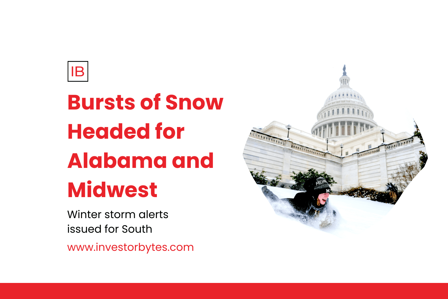
For residents in Alabama, the weather remains highly unpredictable. While the “Ice Storm Warning” phase of the week has passed, a fresh surge of cold air is moving into the Tennessee Valley.
Northern Alabama: Cities like Huntsville and Decatur, which saw significant icing earlier this week, are bracing for “snow bursts” on Saturday. While total accumulations may remain under 1–2 inches, the concern is the rapid drop in temperature that will freeze any lingering moisture on the roads into “black ice.”
The “Squeeze Play”: Meteorologists are watching a moisture-starved cold front that could “squeeze out” light snow as far south as Birmingham and Gadsden. While not a “Snowmageddon,” even a dusting in these areas can paralyze local infrastructure that is already strained from power outages and debris.
The Midwest: Squalls and Dangerous Wind Chills
In the Midwest, the system is expected to be more robust. States like Illinois, Indiana, and Ohio are in the direct path of the secondary Arctic surge.
Snow Squall Warnings: Unlike long-duration blizzards, this weekend may feature snow squalls—brief but intense periods of heavy snow accompanied by strong winds. These can reduce visibility to near zero in seconds, creating “whiteout” conditions on major thoroughfares like I-65 and I-70.
Deep Freeze: The Midwest is bracing for some of the coldest air of the decade. Temperatures in Chicago and Indianapolis are forecast to drop as low as -15°F, with wind chills reaching a bone-chilling -35°F. At these levels, frostbite can occur on exposed skin in less than 10 minutes.