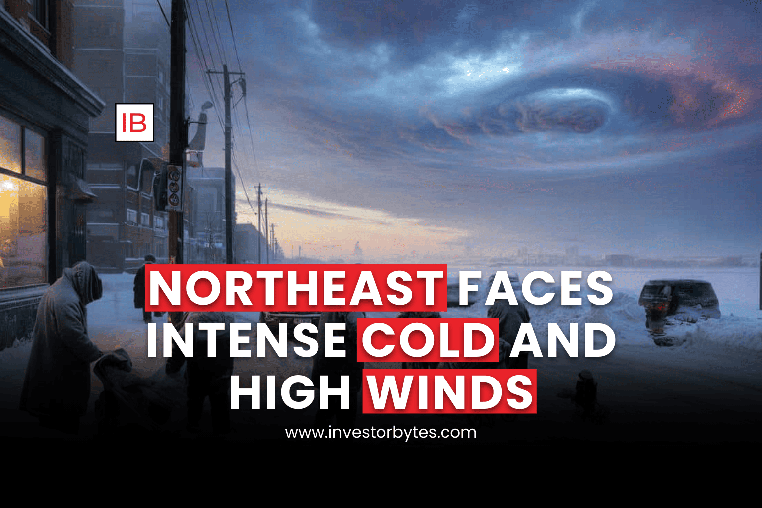
The Northeast is currently enduring a life-threatening arctic blast as a potent cold front sweeps through the region. As of Saturday, February 7, 2026, “Extreme Cold Warnings” and “Wind Chill Advisories” are in effect for over 100 million people across the Interior Northeast, New England, and the Mid-Atlantic.
Current Weather Conditions & Impact
The primary threat this weekend is the extreme wind chill, which is expected to reach the most dangerous levels of the winter season so far.
Dangerous Wind Chills: Interior portions of New England are bracing for wind chills as low as -30°F. Near the coast, values are expected in the negative single digits to teens.
High-Velocity Winds: Northwest winds are gusting between 40 and 60 mph. These powerful gusts, combined with sub-zero air, significantly increase the risk of tree damage and localized power outages.
Snow Squalls: While total snow accumulations are generally light (1–3 inches), the high winds are triggering intense snow squalls. These “whiteout” bursts can reduce visibility to zero in seconds, making highway travel extremely hazardous.
Localized Heavier Totals: Areas downwind of the Great Lakes and specific coastal sections of New England could see locally higher totals of 2–7 inches through Sunday morning.
Regional Breakdown: Weekend Outlook
| Region | Forecasted High (Sat) | Min Wind Chill | Alert Status |
| Interior New England | 0°F to 10°F | -20°F to -30°F | Extreme Cold Warning |
| New York City & Coast | 15°F to 25°F | -5°F to 5°F | Wind Chill Advisory |
| Central Appalachians | 10°F to 20°F | -10°F to -20°F | High Wind Warning |
| Carolinas/Virginia | 25°F to 35°F | 5°F to 15°F | Cold Weather Advisory |
Emergency Guidance & Preparations
Authorities are urging residents to treat this arctic blast with extreme caution, as exposure-related injuries can occur within minutes.
Frostbite Prevention: At -30°F wind chills, frostbite can occur on exposed skin in less than 10 minutes. Limit all outdoor activities and ensure all skin is covered if you must go outside.
Power Outage Readiness: Charge all mobile devices and backup batteries immediately. High winds are expected to continue through Sunday, making it difficult for line crews to perform bucket-truck repairs safely.
Travel Safety: If you must drive, keep a winter survival kit in your vehicle (blankets, water, flashlight, and jumper cables). Be prepared for sudden whiteouts on open highways where blowing snow is most severe.
Code Blue Protocols: Many cities, including New York and Philadelphia, have enacted “Code Blue” emergencies to provide additional shelter for vulnerable populations.
“This is the coldest air of the winter yet. The combination of intense wind and frigid air means the threat of frostbite and hypothermia is at its peak this weekend.” — National Weather Service, Feb 7, 2026