February 26, 2026, the Desert Southwest is navigating one of the most volatile weather weeks in recent memory. After a record-shattering peak of 30.5°C (87°F) on Tuesday, Phoenix is currently undergoing a sharp “thermal correction” as a Pacific cold front sweeps through the Valley, bringing the gusty winds and cooler air promised earlier this week.
The week of February 23–March 1, 2026, will likely be remembered as the “Winter-to-Spring Pivot,” a period where Arizona experienced three distinct seasons in just seven days.
The 2026 February Warming Trend: A Deep Analysis
The Record Peak (Feb 23–24)
The week began under the influence of a “mega-ridge” of high pressure. By Monday, February 23, the mercury in Phoenix hit 75°F, which felt mild compared to what followed. On Tuesday, February 24, the high-pressure system compressed the air in the lower atmosphere, driving temperatures to a staggering 30.5°C (87°F) at Sky Harbor International Airport. This obliterated the previous daily record and stood nearly 15 degrees above the historical average for late February.
The “Vapor Pressure” Impact
This unseasonable heat wasn’t just a comfort issue; it triggered a significant Vapor Pressure Deficit (VPD). As temperatures spiked, the relative humidity in Phoenix bottomed out at 9%. This atmospheric “thirst” accelerated evaporation from the Salt River and parched local vegetation, setting the stage for the brush fires that broke out in North Phoenix on Monday and Tuesday near Cave Creek and Cactus roads.
The Cold Front & Wind Event (Feb 25–26)
The predicted “10-degree dip” arrived with aggressive force yesterday, Wednesday, February 25. As the Pacific cold front collided with the record heat, it generated sustained winds of 18–22 mph, with peak gusts reaching 35 mph in the East Valley.
Current Conditions (Feb 26): Phoenix has settled into a much cooler 68°F (20°C) high today.
Air Quality: The high winds have kicked up significant particulate matter, leading to a “Moderate” Air Quality Index (AQI) rating due to lingering dust and smoke from earlier week brush fires.
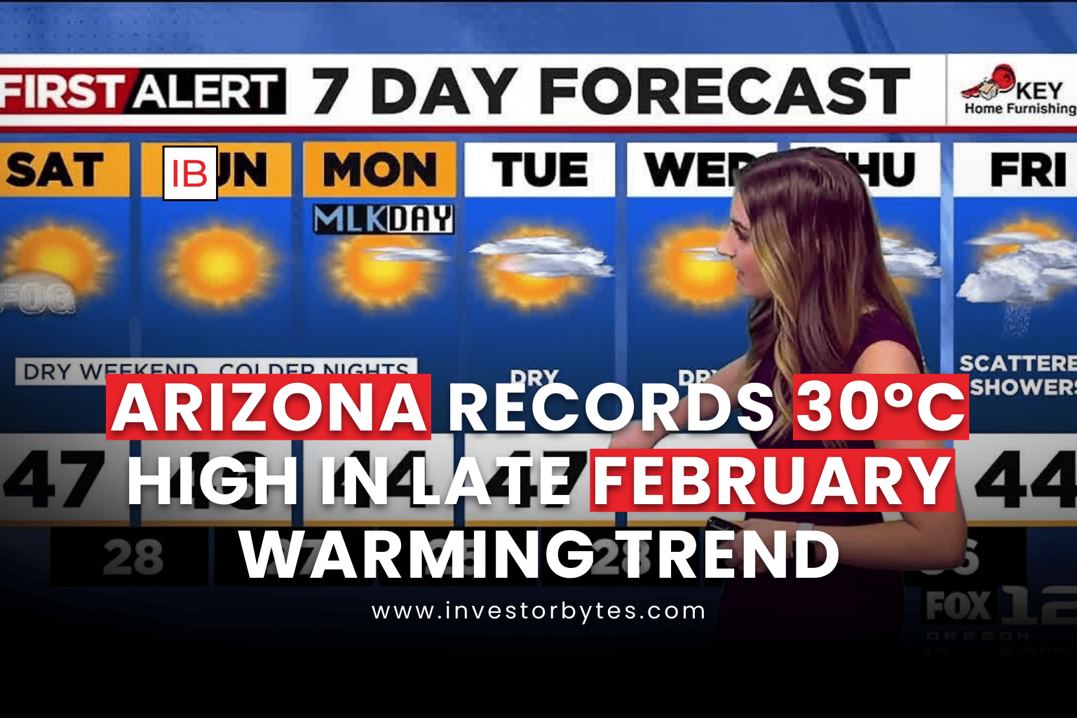
The 7-Day Forecast: A Week of Extremes
| Date | Forecast High | Forecast Low | Weather Narrative |
| Mon, Feb 23 | 75°F (24°C) | 52°F | Mild, seasonal high-pressure builds. |
| Tue, Feb 24 | 87°F (31°C) | 58°F | Record Heat. High-pressure peak. |
| Wed, Feb 25 | 74°F (23°C) | 50°F | Wind Alert. Cold front arrives; 35mph gusts. |
| Thu, Feb 26 | 68°F (20°C) | 46°F | The Dip. Cool, crisp, and clear air. |
| Fri, Feb 27 | 71°F (22°C) | 48°F | Rebound begins. Perfect spring weather. |
| Sat, Feb 28 | 76°F (24°C) | 51°F | Warming trend returns for the weekend. |
| Sun, Mar 1 | 79°F (26°C) | 54°F | March begins with unseasonable warmth. |
Environmental and Health Implications
This week’s 30°C surge serves as a warning for Arizona’s $23 billion agriculture industry. The rapid shift from 87°F back to the 60s can “shock” winter crops like lettuce and citrus, leading to premature bolting or frost sensitivity if the lows drop further than expected.
Health Warning: Doctors in Phoenix have reported an early surge in seasonal allergies and dehydration-related issues. The 87°F peak triggered early pollination for Mulberry and Ash trees, while the low humidity has increased cases of respiratory irritation across the Valley.