New York is bracing for a sustained period of extreme cold and hazardous winter conditions. As of Saturday, February 7, 2026, a citywide Extreme Cold Warning is in effect through 1:00 PM Sunday, with a Code Blue status active to protect vulnerable populations.
Current nighttime conditions in New York are cloudy with a temperature of -4°C and a “feels like” temperature of -8°C.
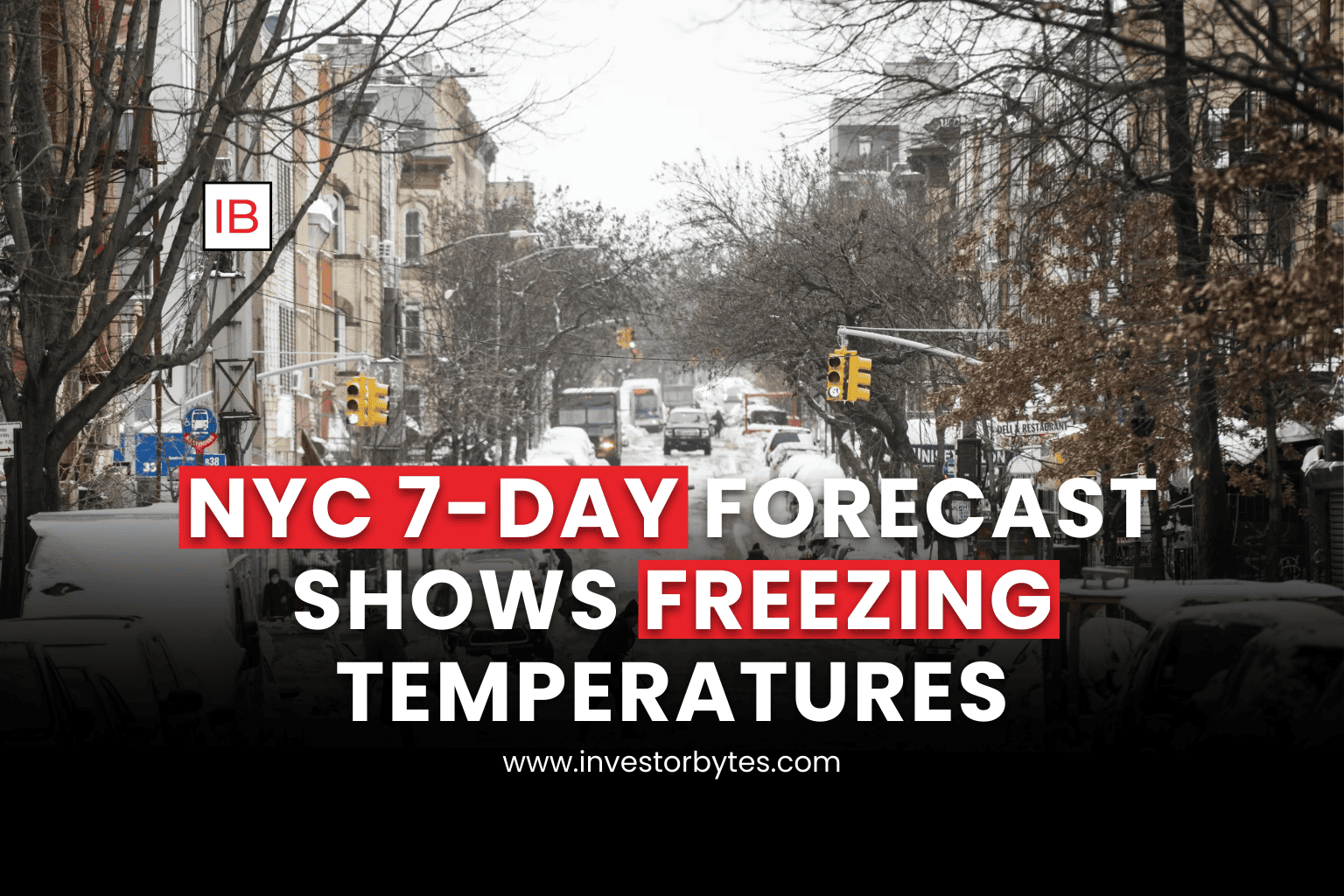
7-Day Weather Forecast
The following data from Google Weather highlights a deep freeze peaking this weekend before a gradual shift toward significant snowfall by mid-February.
| Date | Day Condition | High / Low | Precip. Chance |
| Sat, Feb 7 | Cloudy | -9°C / -18°C | 20% (Snow) |
| Sun, Feb 8 | Sunny | -9°C / -19°C | 0% |
| Mon, Feb 9 | Partly Sunny | -2°C / -14°C | 10% |
| Tue, Feb 10 | Cloudy | 1°C / -10°C | 10% |
| Wed, Feb 11 | Mostly Cloudy | 4°C / -3°C | 10% |
| Thu, Feb 12 | Snow Showers | 2°C / -4°C | 65% (Night) |
| Fri, Feb 13 | Snow Showers | 2°C / -4°C | 65% (Day) |
| Sat, Feb 14 | Heavy Snow Storm | 4°C / -2°C | 65% |
Critical Alerts and Transit Updates
The New York City Emergency Management (NYCEM) and the MTA have mobilized to mitigate the impact of the sub-zero temperatures and high winds.
“Code Blue” Protocols: No individual seeking shelter will be denied during this period. Residents are urged to call 311 to report anyone in need of assistance.
MTA Service Changes: * The North Jersey Coast Line is reporting possible delays due to track maintenance effective Feb 7–8.
Commuters are advised to check the MTA app for real-time updates, as extreme cold can cause equipment malfunctions and track issues.
Penn Station: Tracks 11/12 staircase remains closed for renovations.
Safety Warning: High temperatures on Saturday and Sunday will struggle to break -9°C. With wind gusts reaching 22 mph, frostbite can occur on exposed skin in as little as 10 to 30 minutes.